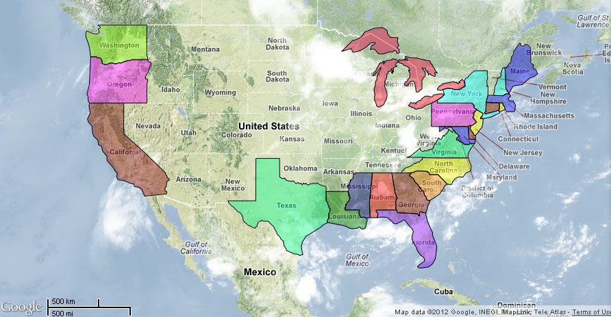
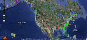
***The Tides and Currents station map can be used to locate stations that provide water levels, meteorological observations, and current observations, as well as other CO-OPS products.***
**Click Here and then:** The Tides and Currents station map
**Please select a state or region**
**Maritime Services**
**CO-OPS** provides the national infrastructure, science, and technical expertise to monitor, assess, and distribute tide, current, water level, and other coastal oceanographic products and services that support NOAA’s mission of environmental stewardship and environmental assessment and prediction. CO-OPS provides operationally sound observations and monitoring capabilities coupled with operational Nowcast Forecast modeling.