Home
All Listings
Boat Connect
Marine Industries-Associations
Boating Events
Marine Services
Deliveries-Transports Land or Sea
New Products
Real Estate
Marinas-Boat Slips-Storage-Dockage
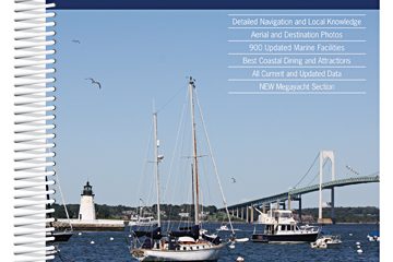
Maptech’s Embassy Cruising Guide: Chesapeake Bay to Florida.
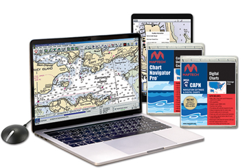

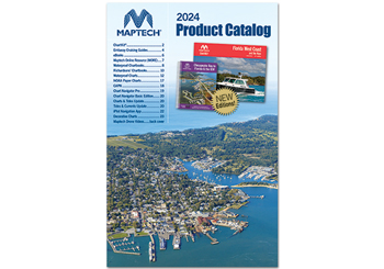


Maptech’s Embassy Cruising Guide: Chesapeake Bay to Florida.
Description
Maptech’s ChartKit® books are full-color reproductions of NOAA charts bundled together in large cruising regions. ChartKit® has been a mainstay of boating for generations — more than 1 million ChartKit® books have been sold in the past 40 years!
Cape May and Delaware Bay through the Chesapeake and Intracoastal Waterway and offshore to Fernandina Beach in northern Florida. Packed with detailed listings for marinas, local navigation advice, aerial photos, and an Intracoastal Waterway Bridge Table. 548 pages.
Purchase at your local marine dealer or bookstore.
www.richardsonscharts.com
1-888-839-5551
http://www.richardsonscharts.com
Map
Website:
http://www.richardsonscharts.com
Listing ID: 24637
Featured Listings
{{ props.swiper.activeIndex + 1 }} / 6
More from Maptech Inc
You may also like...
Popular Boat Brands
- Albin
- Azimut
- Bayliner
- Beneteau
- Bertram
- Boston Whaler
- C&C
- Cape Dory
- Carver
- Catalina
- Cheoy Lee
- Chris Craft
- Contender
- Formula
- Grady-White
- Grand Banks
- Gulfstar
- Hatteras
- Hinckley
- Hunter
- J/Boats
- Jeanneau
- Lagoon
- Luhrs
- Mainship
- Morgan
- Nordhavn
- Ocean Alexander
- Pearson
- Pursuit
- Regal
- Sabre
- Sea Ray
- Silverton
- Sunseeker
- Tartan
- Tiara
- Viking
- Wellcraft
BoatNation.com is a member of the following associations:
- International Marine Association ®
- Marine Industries Association of South FL
- International Yacht Brokers Association
© 2010 - 2025 BoatNation. Designed & hosted by St. Augustine Web Design in St Augustine, Florida.


